Use Acreage Calculator
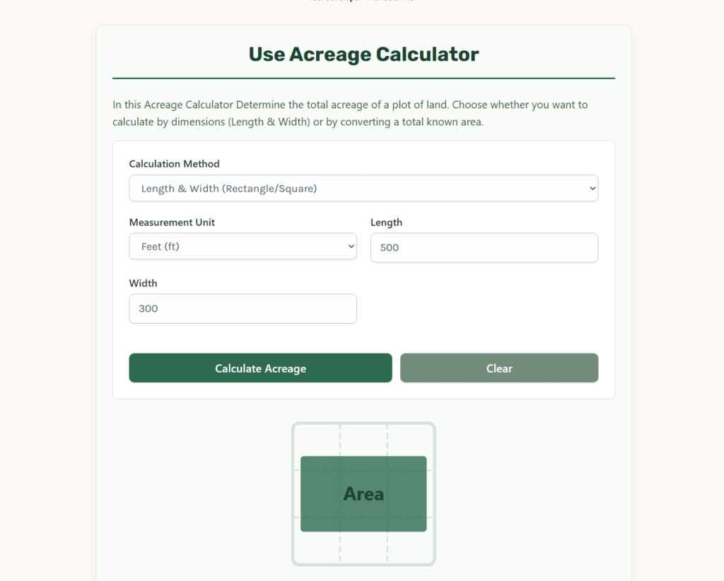
In this Acreage Calculator Determine the total acreage of a plot of land. Choose whether you want to calculate by dimensions (Length & Width) or by converting a total known area.
Understanding Land Measurements
The Universal Acreage Formula
To find the acreage of a rectangular plot of land, you must first calculate the total area in square feet, then divide by the standard acre constant.
Acres = Area (sq ft) ÷ 43,560
- 1 Acre = 43,560 Square Feet
- 1 Acre ≈ 4,046.86 Square Meters
- 1 Acre = 4,840 Square Yards
- 1 Hectare ≈ 2.471 Acres
Did you know?
The term “acre” originally originated in the Middle Ages and represented the amount of land that could be plowed by a single yoke of oxen in one day. While we use precise mathematical constants today, its roots are deeply tied to historical agriculture!
Understanding Acreage and Spatial Area
Land measurement is one of the oldest practical sciences in human history. From the division of agricultural plots along the Nile River in ancient Egypt to modern suburban zoning and real estate valuation, knowing the precise area of a parcel of land is critical. Unlike small-scale measurements used in manufacturing or home remodeling, land measurement requires an understanding of large-scale spatial geography, historical units of measure, and the conversion between different dimensional standards.
This guide serves as a comprehensive resource for evaluating land area. By utilizing structured calculations, historical contexts, and practical surveying methodologies, this document helps landowners, agricultural planners, civil engineers, and real estate professionals calculate acreage with mathematical certainty.
The Medieval Origins of the Acre
To understand why an acre contains such an unusual number of square feet, we must examine the history of European agriculture. The word “acre” is derived from the Old English word æcer, which originally referred to an open, unsown field.
In medieval England, an acre was defined as the amount of land that could be plowed by a single yoke of oxen in a single day. This was eventually standardized into a specific geometric shape: a strip of land one “furlong” in length and one “chain” in width.
➜ The Furlong and the Chain
A furlong, meaning “furrow-long,” was the distance an ox team could pull a plow before needing to rest, which was standardized at $660 \text{ feet}$. A chain was the width of ten plow furrows, standardized at $66 \text{ feet}$.
Therefore, the historical acre was calculated as:$$A_{\text{historic}} = 660 \text{ ft} \times 66 \text{ ft} = 43,560 \text{ ft}^2$$
Variable Definitions:
➜ $A_{\text{historic}}$: The historical area of a standard Anglo-Saxon acre.
➜ $660 \text{ ft}$: The length of one furlong.
➜ $66 \text{ ft}$: The width of one chain (often measured with Gunter’s chain, a physical chain consisting of 100 links).
This historical definition is why modern real estate and legal systems in the United States and other English-speaking nations still rely on the number $43,560$ as the primary constant for land area conversion.
Decoupling the Units of Land Measurement
Global real estate and engineering require seamless translation between different units of spatial area. While the United States relies primarily on the imperial system, much of the rest of the world uses the metric system, where land is measured in hectares or square meters.
The following table provides the precise mathematical equivalents used to translate land measurements across international systems:
| Target Unit | Equivalent in One Acre | Mathematical Conversion Factor |
| Square Feet ($\text{ft}^2$) | $43,560.00$ | Multiply acres by $43,560$ |
| Square Yards ($\text{yd}^2$) | $4,840.00$ | Multiply acres by $4,840$ |
| Square Meters ($\text{m}^2$) | $4,046.86$ | Multiply acres by $4,046.8564$ |
| Hectares ($\text{ha}$) | $0.4047$ | Multiply acres by $0.404686$ |
| Square Miles ($\text{mi}^2$) | $0.0015625$ | Divide acres by $640$ |
➜ The Hectare vs the Acre
The hectare is the metric system’s equivalent of the acre, used primarily in Europe, South America, and Asia. A hectare is defined as a square with sides of $100 \text{ meters}$, resulting in a total area of $10,000 \text{ square meters}$. One hectare is roughly equivalent to $2.471 \text{ acres}$.
Mathematical Foundations of Land Calculation
Calculating acreage requires converting linear physical measurements into two-dimensional area, then scaling that area to the acre unit. Depending on the shape of your property, different geometric formulas must be applied.
1. Rectangular or Square Parcels
For properties with straight parallel boundaries, the area is found by multiplying the length by the width.$$A_{\text{acres}} = \frac{L \times W}{C_{\text{unit}}}$$
Variable Definitions:
➜ $A_{\text{acres}}$: The total area in acres.
➜ $L$: The measured length of the property.
➜ $W$: The measured width of the property.
➜ $C_{\text{unit}}$: The conversion constant based on your measurement unit.
➜ For Feet: $C_{\text{unit}} = 43,560$
➜ For Yards: $C_{\text{unit}} = 4,840$
➜ For Meters: $C_{\text{unit}} = 4,046.856$
2. Circular Parcels (Pivot Irrigation Fields)
In agricultural regions, circular pivot irrigation systems create circular crop fields. The acreage of a circular plot is calculated using the radius from the center pivot to the outer edge.$$A_{\text{acres}} = \frac{\pi \times r^2}{43,560}$$
Variable Definitions:
➜ $A_{\text{acres}}$: The total area in acres.
➜ $\pi$: Archimedes’ constant (approximately $3.14159$).
➜ $r$: The radius of the circle in feet.
➜ $43,560$: The square feet per acre constant.
3. Triangular Parcels
For plots that form a three-sided shape, you must determine the perpendicular base and height.$$A_{\text{acres}} = \frac{B \times H}{2 \times 43,560}$$
Variable Definitions:
➜ $A_{\text{acres}}$: The total area in acres.
➜ $B$: The base length of the triangle in feet.
➜ $H$: The perpendicular height of the triangle in feet.
➜ $43,560$: The square feet per acre constant.
Step-by-Step Practical Sizing Scenarios
To demonstrate how these mathematical principles are applied in the field, we can examine three distinct land calculation scenarios.
Scenario A: The Standard Suburban Lot (Feet)
A real estate developer is evaluating a rectangular parcel of land in a new residential subdivision.
- Length ($L$): $150 \text{ feet}$
- Width ($W$): $80 \text{ feet}$
➜ Step 1: Calculate the total area in square feet:$$\text{Area} = 150 \text{ ft} \times 80 \text{ ft} = 12,000 \text{ ft}^2$$
➜ Step 2: Divide by the square-feet-per-acre constant:$$A_{\text{acres}} = \frac{12,000}{43,560} \approx 0.2755 \text{ Acres}$$
The property is roughly a quarter-acre lot, which is a standard size for suburban single-family housing.
Scenario B: The Agricultural Field (Meters)
A farmer in Europe is measuring a rectangular crop field using a GPS tracking tool set to metric units.
- Length ($L$): $400 \text{ meters}$
- Width ($W$): $250 \text{ meters}$
➜ Step 1: Calculate the total area in square meters:$$\text{Area} = 400 \text{ m} \times 250 \text{ m} = 100,000 \text{ m}^2$$
➜ Step 2: Convert square meters to acres:$$A_{\text{acres}} = \frac{100,000}{4,046.856} \approx 24.7105 \text{ Acres}$$
➜ Step 3: Convert to hectares (as a secondary reference):$$\text{Hectares} = \frac{100,000}{10,000} = 10 \text{ Hectares}$$
This 10-hectare field provides a substantial agricultural canvas for crop cultivation or livestock grazing.
Scenario C: Irregular Boundary Estimation (Trapezoidal Offsets)
In professional land surveying, properties rarely form perfect rectangles. For parcels bounded by a winding river or road, surveyors use the trapezoidal offset rule to estimate acreage. The surveyor establishes a straight baseline and takes perpendicular offset measurements at equal intervals.$$A_{\text{survey}} = d \times \left( \frac{h_0 + h_n}{2} + \sum_{i=1}^{n-1} h_i \right)$$
Variable Definitions:
➜ $A_{\text{survey}}$: The calculated area in square feet.
➜ $d$: The constant distance interval between offset measurements (e.g., every $50 \text{ feet}$).
➜ $h_0, h_n$: The lengths of the first and last offset lines in feet.
➜ $h_i$: The lengths of the intermediate offset lines in feet.
Once $A_{\text{survey}}$ is found, the value is divided by $43,560$ to yield the precise acreage.
The Impact of Slope on Acreage Calculations
A common point of confusion for landowners is the difference between “surface area” and “horizontal area.” Under legal and surveying standards, land acreage is calculated exclusively on a flat, two-dimensional horizontal plane.
If a property sits on a steep hillside, the physical surface area of the soil is significantly larger than the legal acreage of the plot. This is because boundary lines are projected vertically down, as if the hill were sliced flat.
To calculate the true horizontal distance on a slope, surveyors use the slope distance and the angle of inclination:$$H_{\text{dist}} = S_{\text{dist}} \times \cos(\theta)$$
Variable Definitions:
➜ $H_{\text{dist}}$: The true horizontal distance used for legal boundary and acreage calculations.
➜ $S_{\text{dist}}$: The measured slope distance along the ground.
➜ $\theta$: The angle of inclination of the slope in degrees.
➜ $\cos$: The trigonometric cosine function.
If you are fencing a sloped property, you will need to purchase enough fencing materials to cover the physical slope distance, even though your tax map and deed will only show the smaller horizontal acreage.
Critical Sizing and Land Management Checklist
When evaluating land for purchase, agricultural development, or construction, use the following checklist to ensure all spatial and physical factors are accounted for:
✓ Legal Boundaries and Easements: Verify that the physical boundaries match the legal description in the deed. Easements for utilities, pipelines, or access roads can significantly reduce the usable acreage of a plot.
✓ Topography and Slope: Use topographic maps to identify steep gradients. Slopes greater than $15\%$ are generally difficult to build on or cultivate without advanced grading.
✓ Subdivision Potential: Check local zoning laws to determine the minimum lot size. A $5$-acre parcel can only be split into five $1$-acre lots if zoning allows for $1$-acre minimums and local infrastructure can support the density.
✓ Setbacks and Build Envelopes: Municipalities require buildings to be constructed a certain distance from property lines, known as setbacks. This reduces the actual “buildable” area of the acreage.
✓ Agricultural Productivity Index (PI): If purchasing acreage for farming, consult soil maps to determine the productivity index of the soil. High acreage is of limited value if the soil consists of poor quality clay or heavy gravel.
Glossary of Crucial Land Surveying Terminology
➜ Aliquot Part: A standard fractional division of a square mile section under the Public Land Survey System (e.g., a quarter-section represents 160 acres).
➜ Chain: A unit of length equal to $66 \text{ feet}$, consisting of 100 links, used historically in land surveying.
➜ Easement: A legal right to use another person’s land for a specific, limited purpose, such as a utility line or driveway.
➜ Furlong: A unit of length equal to $660 \text{ feet}$ or one-eighth of a mile.
➜ Hectare: A metric unit of square measure equal to $10,000 \text{ square meters}$ or approximately $2.471 \text{ acres}$.
➜ Metes and Bounds: A system of describing land boundaries using physical features, distances, and angles from a specific starting point.
➜ Public Land Survey System (PLSS): The grid system used in the United States to divide public lands into townships and sections.
➜ Section: A square mile of land under the PLSS, containing precisely $640 \text{ acres}$.
Scientific Reference and Official Standards
The mathematical models and conversion factors utilized in modern land calculation are governed by federal and international metrology standards.
Relevance: NIST dictates the official conversion standards between the US customary system and the metric system. This includes the precise definitions of the international foot and the historical US survey foot, which was officially retired by NIST to eliminate minor discrepancies in large-scale geodetic surveying. Adhering to these standards ensures that the acreage calculations generated by this tool remain consistent with federal land registry, GIS mapping, and legal surveying requirements.
how to calculate acreage E-book guide
You can download full guide of how to calculate acreage here.
Final Summary for Landowners
By utilizing this Acreage Calculator and applying these structured geometric principles, you can transition from speculative spatial estimation to precise land planning. Whether you are dividing a parcel for subdivision, planning crop rotations, or verifying the boundaries of a new home purchase, understanding the relationship between linear measurements and total acreage is the primary safeguard against costly real estate errors. Precision in land area calculation is the foundation of smart, long-term property stewardship.
Video explains how to calculate Acreage
Full explaining here: